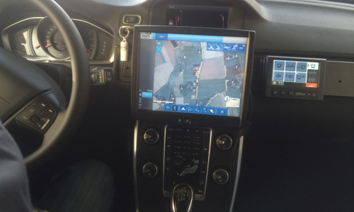
CityGIS navigator is a specialised GPS navigation platform that includes a full GIS environment.
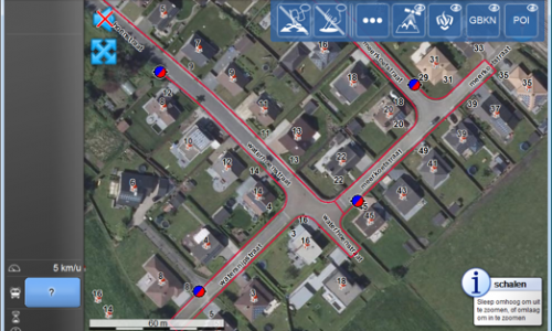
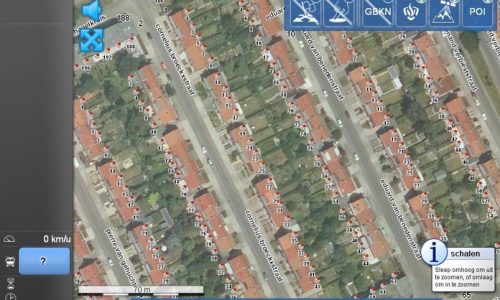
This allows to save precious time to reach incident locations by using exact house number navigation and aerial photo layers.
The Tersec-CityGIS integrations also allow to receive incident locations directly from the 112 centers and offers bidirectional status reporting based on Tetra and/or cellular communications.
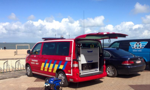
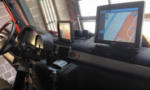
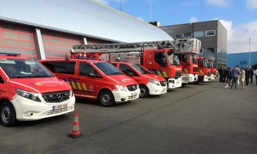
This can be installed as a fixed mobile PC setup inside of a vehicle. Police cars, fire brigade cars and emergency service cars and helicopters are equipped with this software.
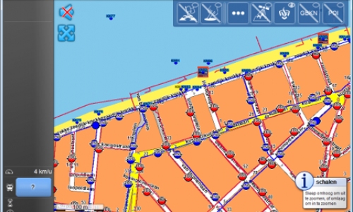
Show water network and hydrants on different layers
Show water network and hydrants on different layers
House number and aerial photo integration
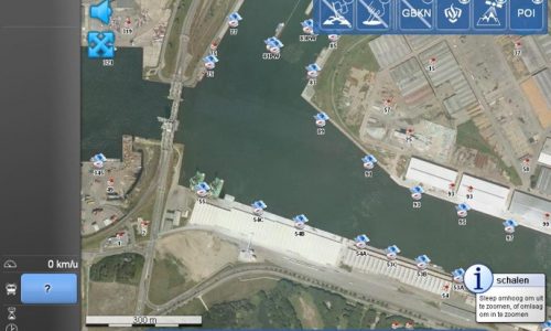
Seaports - integration of quay numbers and orthophoto
The navigation platform consists of a multi-layer GIS. There are different types of layers that you can show on the screen.
There are a lot of customisations possible to meet the requirements of the customer. You can show the water network and hydrants, see an aerial view or a map view, show the house numbers, see the quay numbers in a port…
Some other features of the navigation platform:
Send and receive status messages via 4G/5G/Tetra
Receive live incidents from 112 emergency service centers via Tetra/IP
Control Tetra radio - select talk group and control volume